Complementary Signs
- 1/33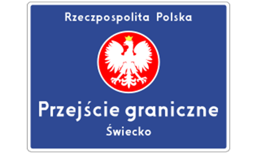
Indicates a border crossing point into or out of Poland, often accompanied by customs or inspection infrastructure.
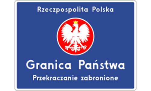
Marks the official entry point into Poland, typically featuring the national coat of arms or Polish flag to signify state boundaries.

Marks the entry into a country that is part of the European Union, often using the EU stars symbol and country name.
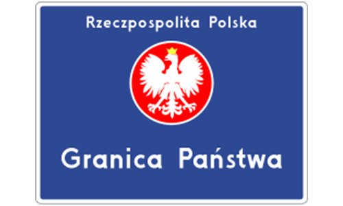
Similar to standard border signs, this also signals a national boundary crossing but may use a different graphic or layout.
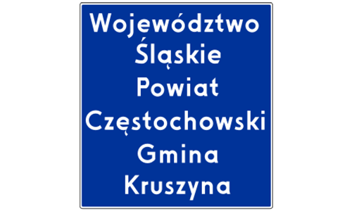
Indicates you are entering a new administrative region, such as a Voivodeship (province) or Gmina (municipality); e.g., Powiat Częstochowski.
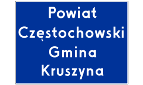
Signifies entry into a specific municipality or rural administrative district, such as Gmina Kruszyna.
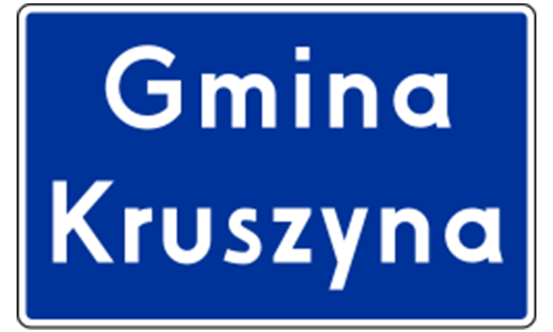
Another variant of the sign used for entering Gmina Kruszyna, possibly with a different design or placement.
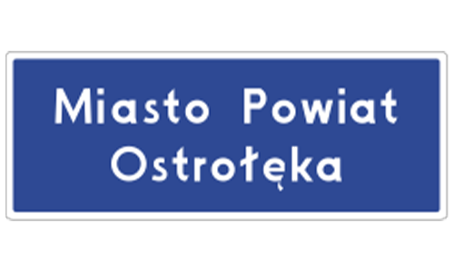
Indicates the start of an urban administrative area that functions as both city and county, e.g., Miasto Powiat Ostróżałka.
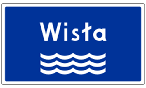
Identifies the river currently being crossed or approached, for example, the Wisła (Vistula), the largest river in Poland.
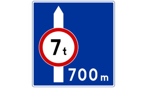
May indicate a vertical clearance limit (e.g., 7 meters) or the distance to a road feature (e.g., 700 meters), or both.
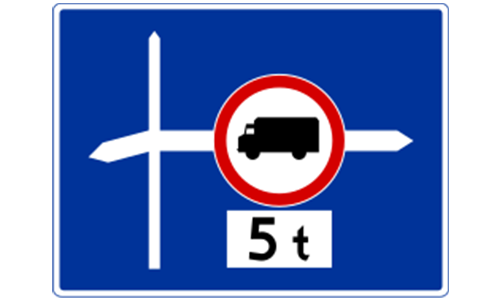
Displays a warning or restriction specific to vehicles with 5 axles, often related to bridges or weight-sensitive zones.
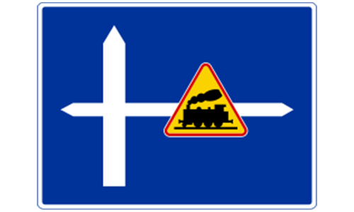
Alerts drivers to vehicle height and width limitations on the upcoming road or passage, ensuring safe clearance.

A diagrammatic sign illustrating the layout of a complex intersection or roundabout, helping with lane selection.
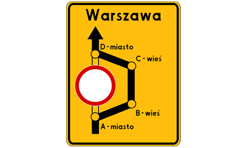
Provides directional guidance and alternate routes, such as bypass routes marked "Objazd" toward major cities like Warsaw.
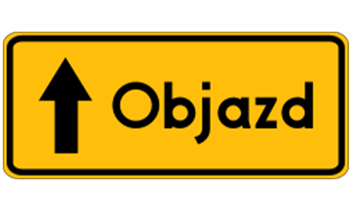
Used to mark temporary detours or alternative routes created due to road closures, accidents, or construction works.
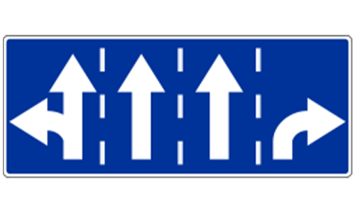
Shows permitted directions of travel from the current position, e.g., drivers may proceed straight or turn right.
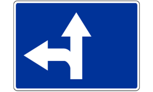
Indicates that left turns are permitted from the current lane or road segment.
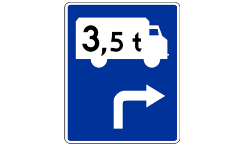
Specifies that vehicles exceeding 3.5 tonnes must take a designated alternate turn, often due to road limitations.
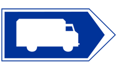
Indicates the route that trucks or heavy vehicles must follow, often to bypass restricted areas or avoid congestion.
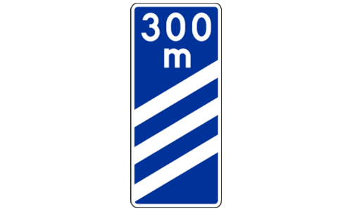
Sign shows there are 300 meters remaining before reaching an exit, junction, or specified road feature.
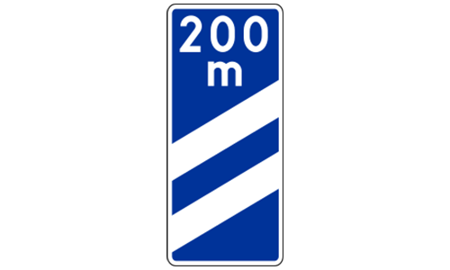
Sign indicates 200 meters remain before reaching an exit, merge, or another key feature.
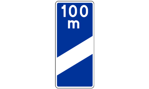
Sign indicates 100 meters remain before reaching an upcoming exit or junction.
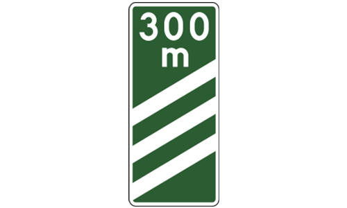
A sequence of signs at 300m, 200m, and 100m before a junction or exit, commonly used on expressways and motorways.
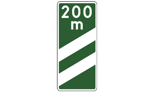
On motorways, this sign gives a distance countdown (e.g., 200m) to a facility, exit, or interchange.
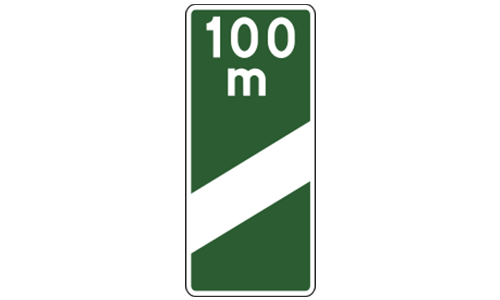
A motorway sign indicating that a road feature or exit is 100 meters ahead, requiring preparation to exit or merge.
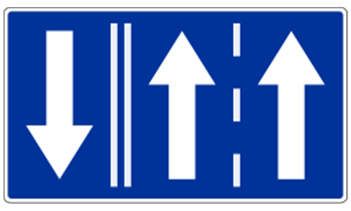
Designates that the left lane is restricted for vehicles making a left turn only—commonly used near intersections.
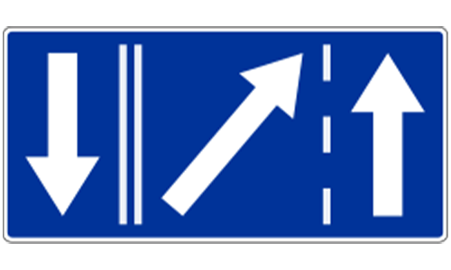
This lane is assigned for vehicles proceeding straight or turning right, helping organize traffic flows.
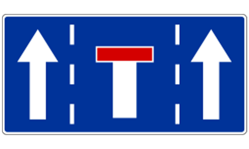
Marks a lane dedicated solely to forward travel; turning is not allowed from this lane.
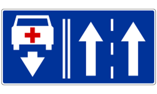
Indicates the current lane allows both going straight and making a left turn.
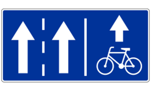
Shows integration with a bicycle lane or that a nearby lane is reserved for cyclists.
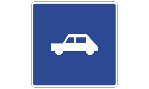
Alerts drivers to an upcoming lane merge or change in lane availability—used for traffic flow adjustments.
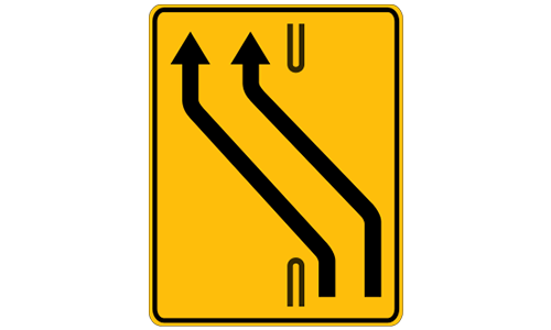
Warns that two traffic lanes are merging into one and drivers should merge in an orderly and safe fashion.
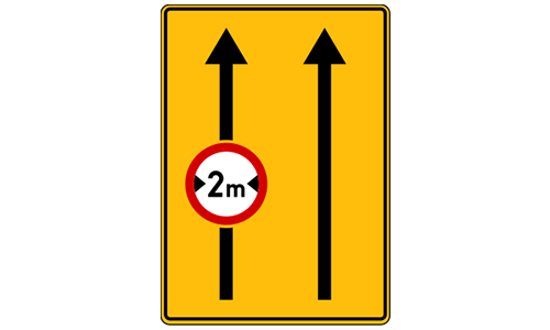
Indicates a lane merge situation combined with an overhead height restriction, alerting tall vehicles to plan accordingly.
 Pass the Exam Easily with Detailed 3-Level Practice | 1-Day Full Access Free — Offer Ends in


