Informational Signs
- 1/23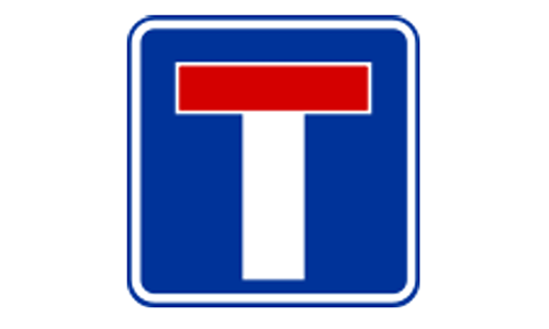
Shows a dead-end or closed street. Vehicles cannot drive through to another road.
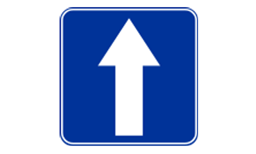
Traffic is permitted to move only in the direction shown. Opposite entry is prohibited.
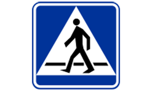
Indicates a marked pedestrian crosswalk ahead. Drivers must slow down and yield.
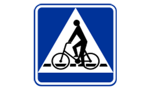
Warns that cyclists may cross the road here. Drivers must watch and give way if needed.
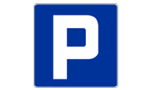
Designates a general area where parking is allowed. Free or paid depending on location.
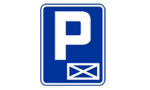
Only specific vehicles may park here. Common for disabled or permit holders.
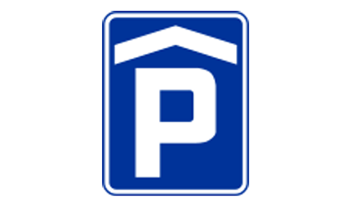
Parking available under a shelter or roof. Useful during snow or rain conditions.
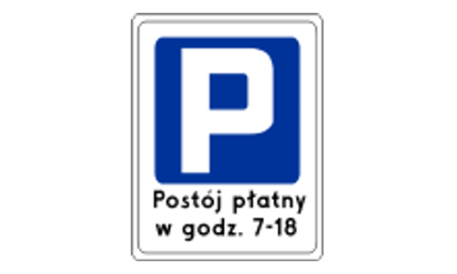
Drivers must pay to park in this area. Machines or mobile apps are usually used.
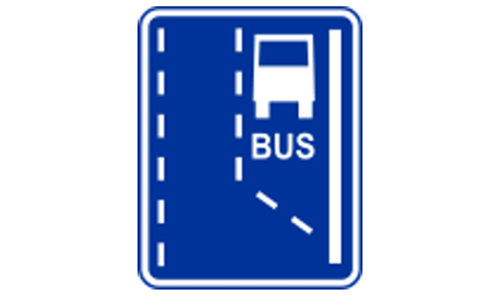
Indicates where a dedicated bus lane begins. Only buses are allowed from this point.
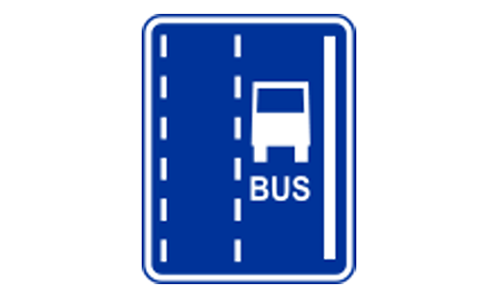
The road or lane is restricted for buses. Other vehicles may be fined if using it.
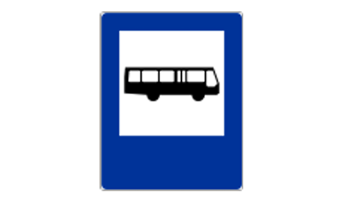
Public buses will stop here to pick up and drop off passengers. Stay clear of zone.
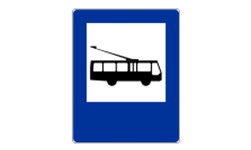
This is a designated stopping place for trolleybuses. Marked similar to bus stops.
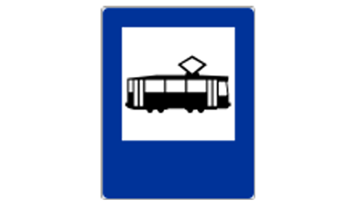
A tram stop is located here. Drivers must allow passengers to enter and exit safely.

Area monitored by automated cameras for speeding. Violations may lead to fines.
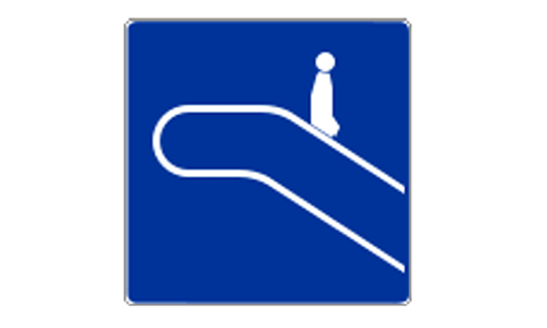
Indicates the direction of an escalator going down. Typically used in transit zones.
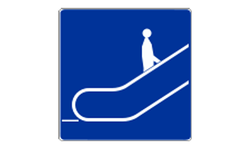
Shows an upward-moving escalator. Helps guide foot traffic in public spaces.
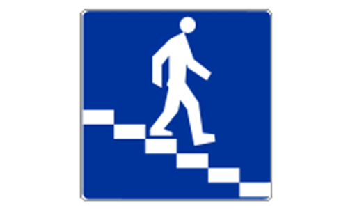
A tunnel under the road for pedestrians or vehicles. Avoids street-level crossing.
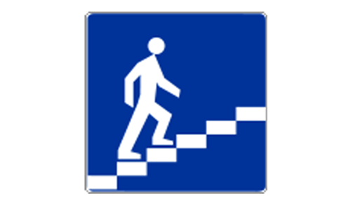
An overhead walkway lets pedestrians cross safely. Often used on busy roads.
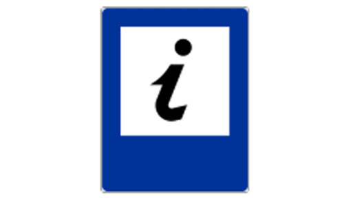
A staffed or signposted place offering help to tourists. Maps, guides, and info found.
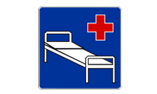
A medical facility is nearby. Drivers should reduce speed and avoid using horns.
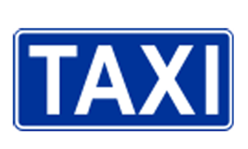
Official location where taxis wait for passengers. Other vehicles cannot stop here.
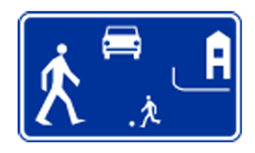
Speed limits and rules favor pedestrians. Extra caution is required when driving.
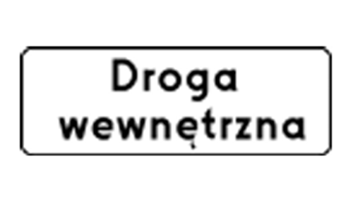
Entry is restricted to authorized vehicles. Public access is not permitted.
 Pass the Exam Easily with Detailed 3-Level Practice | 1-Day Full Access Free — Offer Ends in


